Samuel and Nathaniel Buck’s Views of Ruins of Castles & Abbeys in the Midlands 1726-1739
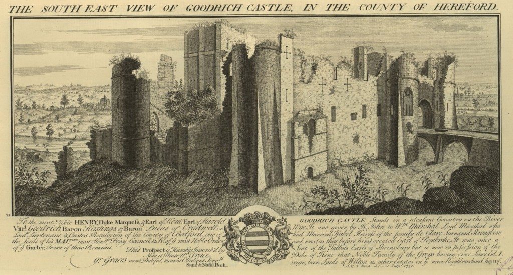
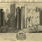
Image: South East View of Goodrich Castle in the County of Hereford
Source: Samuel & Nathaniel Buck, Views of Ruins of Castles & Abbeys in England, Part 2, 1726-1739 (nd), Arts, Languages and Literature, Birmingham Central Library.
Summary
In 1726, two brothers, Samuel and Nathaniel Buck began their task of creating a visual record of ancient monuments in England and Wales. “Buck’s Views” as they were called became a bank of over 400 engravings of local buildings across the two countries. They were printed and sold individually and collected into volumes for book purchasers. The artistic quality of the prints may not have been high, but they are important sources for local historians. This selection from the monumental enterprise concentrates on the counties of Derbyshire, Warwickshire, Shropshire, Staffordshire, Worcestershire, Herefordshire.
Buck’s Views in Context
Topography refers to the study, description or portrayal of a local area. Before the advent of photography, topographical prints were the only way in which visual representations of places were made readily accessible. Artists could engrave or etch images on metal plates or, more usually pass their drawings to a specialist engraver. Multiple copies could be printed for sale or reproduced in books.
The first artist to devote himself to British topography was Wenceslas Hollar. Born in Prague in 1607 he came to England and created careful, perceptive and accurate etchings of London on copper. After Hollar few print makers produced work which combined his artistic gifts and reliability as a recorder. One was Michael Burghers who was born in Holland and engraved various scenes including views in the Midlands for Dr Robert Plot’s, Natural History of Staffordshire, one of the first and most important county histories in Britain. These print makers and others reflected an interest in the portrayal of buildings within a landscape. Their representations are also reflected in the growing numbers of maps which appeared in the 18th century, which often combined a graphical representation of a county with bird’s eye views of important local buildings.
Printmaking was not an activity that attracted many British artists. Until the Copyright Act of 1735, the law failed to protect engravers and printmakers from having their images copied. Nevertheless, in 1726, before the passing of the act, Samuel Buck (1696-1779) and his younger brother Nathaniel, began a massive undertaking to illustrate “the venerable remains of above four hundred Castles, Monasteries, Palaces, etc., in England and Wales.” Over the next 30 years they produced 420 of these views. They are not major works of art and resemble stage sets in their approach to perspective and stiffness of execution, but they are important records of local areas. The writer John Lewis Roger in his History of the Old Water Colour Society (1891) said of their work:
….there is little or no imitation of actual texture. Ruined walls have none of the look of crumbling stone. Edged with fringes of vegetation, neatly trimmed, like whiskers, they are themselves perfectly smooth, as if cut in wood or card, showing marvellous coherence in broken arches and masonry.
As they became more experienced, their plates included figures and incidents to add human interest. They also produced views of British towns, some of which, such as the South West Prospect of Birmingham are justly famous, but the prints in this exhibition belong to the early period of their work.
Despite their shortcomings as works of art, Samuel and Nathaniel Buck produced the most comprehensive engravings of local scenes in the mid 18th century. Sometimes there are long explanatory captions which help to illuminate the scenes. Their interests were not in economic activity, though some of their prints provide glimpses of more than ancient monuments. The views of Beauchief Abbey and the North-East Prospect of Bolsover Castle in Derbyshire reveal enclosed fields and the North-East View of Shrewsbury Castle shows buildings grouped beneath the castle, providing a hint of commercial activity along the banks of the River Severn. Buck’s Views are major sources for local history.
« Previous in this sectionNext in this section »Continue browsing this section
 East View of Tutbury Castle in Stafford
 North East View of Croxton Abbey in Stafford
 South West View of Dudley Priory in Stafford
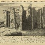 South West View of Alton Castle in Stafford
 Samuel and Nathaniel Buck’s Views of Ruins of Castles & Abbeys in the Midlands 1726-1739
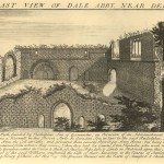 East View of Dale Abbey, near Derby
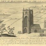 South West View of Beauchief Abbey in Derby
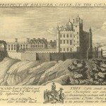 The North East Prospect of Bolsover Castle in Derby
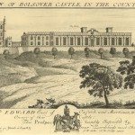 West View of Bolsover Castle in Derbyshire
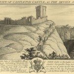 North West View of Castleton Castle and the Devil’s Arse in the Peak
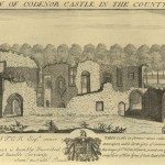 West View of Codenor Castle in Derby
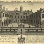 South View of Coombe Abbey in Warwick
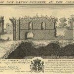 East View of Nuneaton Nunnery in Warwick
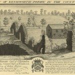 East View of Kenilworth Priory in Warwickshire
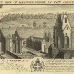 North West View of Maxtoke Priory in Warwickshire
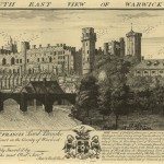 South East View of Warwick Castle in Warwick
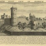 North East View of Warwick Castle in Warwick
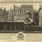 East View of Kenilworth Castle in Warwick
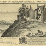 South East View of Tamworth Castle in Warwickshire
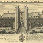 East View of Maxtoke Castle in Warwickshire
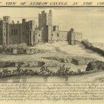 North West View of Ludlow Castle in Salop
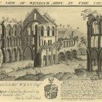 South West View of Wenlock Abbey in Salop
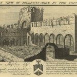 South West View of Buildwas Abbey in Salop
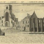 West View of Shrewsbury Abbey
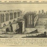 East View of Halesowen Abbey in Salop
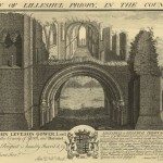 West View of Lilleshall Priory in Salop
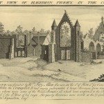 North West View of Haughmond Priory in Salop
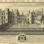 East View of Tong Castle in Salop
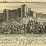 North West View of Shrewsbury Castle in Salop
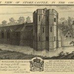 South West View of Stoke Castle in Salop
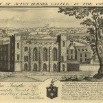 South View of Acton Burnell Castle in Salop
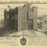 East View of Hopton Castle in Salop
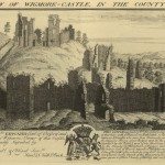 South View of Wigmore Castle in Hereford
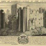 South East View of Goodrich Castle in Hereford
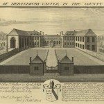 View of Hertlebury Castle in Worcester
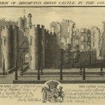 South East View of Brompton Brian Castle in Hereford
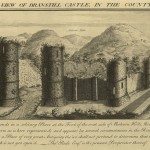 South West View of Branstill Castle in Hereford
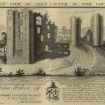 North West View of Clun Castle in Salop
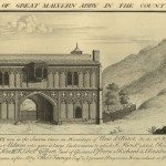 North West View of Great Malvern Abbey in Worcester
Sources and Further Reading
Buck, Samuel & Nathaniel, Views of Ruins of Castles & Abbeys in England, Part 2, 1726-1739 (nd).
Russell, Ronald, Discovering Antique Prints (Princes Risborough, Shire Publications, 1982, 2001).
Russell, Ronald, Guide to British Topographical Prints (Newton Abbot, 1979).


