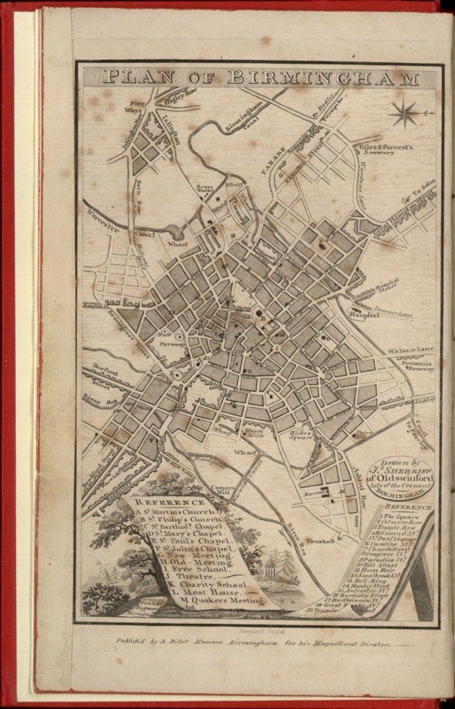
Plan of Birmingham, drawn by J. Sherrif of Oldswinford, late of the Crescent Birmingham
Image from: Bisset’s Magnificent Guide or Grand Copper Plate Directory for the Town of Birmingham, 1808
[From Birmingham Central Library]
02. Plan of Birmingham, drawn by J. Sherrif of Oldswinford, late of the Crescent Birmingham
The map shows the main street pattern and identifies the main public and religious buildings by a key where they are not specifically identified on the map. Several indications of the town’s industrial and commercial significance are shown including:
• The expansion of Birmingham along the roads leading out of the town,
• The canal system and wharves,
• The location of several industries including steam mills, a brass works and breweries.
The map provides a geographical context for the advertisements included in the Directory. Interestingly, the representation of a rural landscape at the bottom of the map complete with trees, a lake and neo-classical temple was being destroyed as Birmingham’s rapid growth penetrated the adjacent countryside. Anna Seward’s poem, Colebrook Dale (1785), contrasts Birmingham’s progress as a centre for innovation and economic progress with the consequent industrial pollution and destruction of the landscape.
« Previous in this sectionNext in this section »Continue browsing this section
 A Catalogue of Commerce and Art: Bisset’s Magnificent Guide for Birmingham, 1808
 Frontispiece to Bisset’s Magnificent Directory
 Plan of Birmingham, drawn by J. Sherrif of Oldswinford, late of the Crescent Birmingham
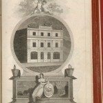 Birmingham Fire Office
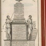 Bankers and Public Companies in Birmingham
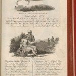 Physicians, Surgeons, Apothecaries and Chemists in Birmingham
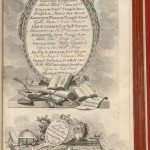 Attorneys at Law in Birmingham
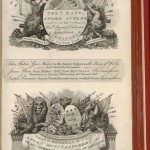 Sword, Gun and Pistol Manufacturers in Birmingham
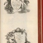 Mercers, Linen Drapers, Haberdashers, Hosiers and Lacemen in Birmingham
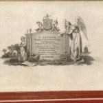 J Taylor, Gold and Silversmith, Jeweller, Tortoiseshell and Ivory Box and Toy Manufacturer, Birmingham
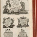 Cabinet Makers, Upholsterers, Gun Makers and Saddlers in Birmingham
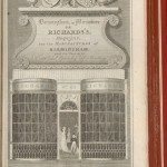 Birmingham in Miniature or Richard’s Magazine for the Manufacturers of Birmingham and its Vicinity
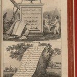 Bankers in Birmingham and Businessmen adjacent to Birmingham
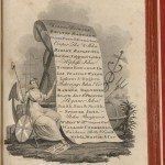 Merchants in Birmingham
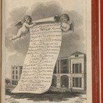 Miscellaneous Businesses in New Street, Birmingham
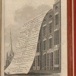 Miscellaneous Businesses in High Street, Birmingham
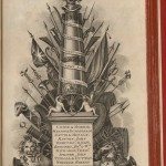 Gun Makers in Birmingham
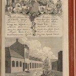 Inns, Hotels and Taverns and Swinney’s Type Foundry in Birmingham
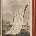 Factors or Commercial Agents in Birmingham with a view of the Crescent and Wharf
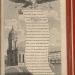 Miscellaneous Professions and Businesses in Birmingham with a View of St Philip’s Church
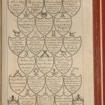 Miscellaneous Professions and Businesses in Birmingham with Emblems of their Trade
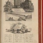 Henry Clay, Japanner, and Artists in Birmingham
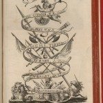 Sword Makers in Birmingham
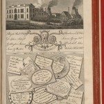 Brass Founders with a view of the Brass House in Broad Street, Birmingham and Miscellaneous Businesses
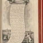 Toy Makers in Birmingham with a View of the Navigation Offices
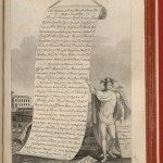 Miscellaneous Professions and Businesses in Birmingham with a View of St Paul’s Chapel
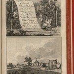 Japanners in Birmingham and a View of the Park Glass House
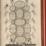 Cards of different Professions and Businesses in Birmingham
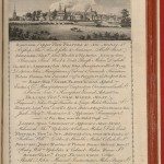 Miscellaneous Businesses in Birmingham with a View of the Town from the Warwick Canal
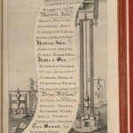 Button Makers in Birmingham
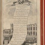 Miscellaneous Professions and Businesses in Deritend near Birmingham
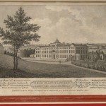 View of Matthew Boulton’s Soho Manufactory and Royal Mint Offices in Handsworth near Birmingham
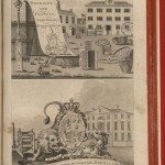 View of the Eagle Iron Foundry and Mr. Whitmore’s Engineering Works in Birmingham
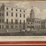 View of Lloyd’s, New Hotel and Hen and Chickens Inn, New Street, Birmingham
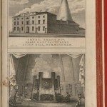 Exterior and Interior View of Jones, Smart and Company’s Glass Manufacturers, Aston Hill, Birmingham
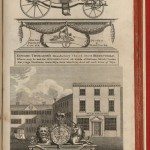 Thomason’s Button and Toy Manufactory, Church Street, Birmingham
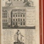 View of the Westminster Life and British Fire Insurance Offices, Strand, London, with a List of the Directors. J. Gottwaltz, Birmingham Agent
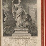 The Phoenix Fire Office, Lombard Street and Charing Cross, London, with a List of the Directors. J. Farror, Birmingham Agent.
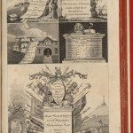 Two Manufacturers, a School, an Engineer and an Inn near Birmingham
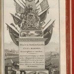 Blair and Sutherlands, Gun Makers, Brook Street and Harper’s Hill, Birmingham
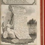 Button Makers and other Businesses of Birmingham
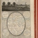 View of Birmingham from Aston Wharf with the Names of various Businesses
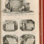 Miscellaneous Metal Manufacturers and other Businesses in Birmingham
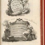 Toy Maker and Japanners in Birmingham
 Surveyor, Sutton Coldfield and Coach Spring Manufacturers, Birmingham
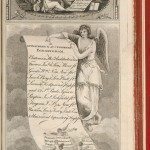 A Bookseller and list of Appraisers and Auctioneers in Birmingham
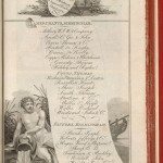 Merchants and Factors in Birmingham
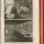 Hepinstall and Parker’s File Manufactory, Ann Street, Birmingham and Walsall, Staffordshire
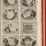 Miscellaneous Traders, Professions and Manufacturers in Birmingham
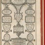 Trade Cards for various Businesses in Birmingham
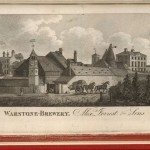 View of Warstone Brewery, Warstone Lane, Birmingham, belonging to Alex Forrest and Sons
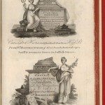 Various Toy Makers and Jewellers in Birmingham
 Thomas Robinson, Chemist, and Roberts, Jeffery and Co, Button and Toy Manufacturers, Snow Hill, Birmingham


